A new project called Mountain Community Adaptation to Changing Snowpacks and Geohazards will connect people and community leaders with information and real-time data to help them adapt to climate change impacts.
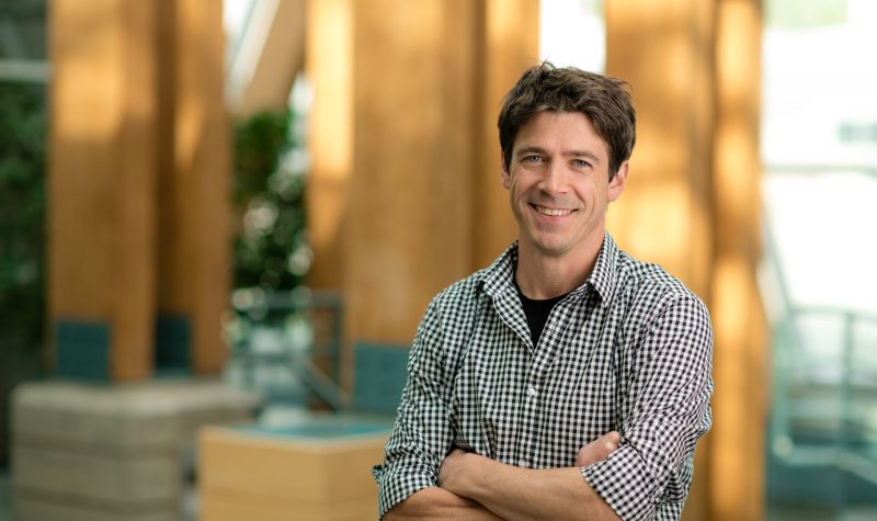
Dr. Joseph Shea is the lead investigator of the University of Northern British Columbia research project funded by the Pacific Institute for Climate Solutions (PICS).
This project is important for mountainous northern communities whose rivers, aquifers, and lakes depend on melting snowpack each year. If the snow was dense and the spring came on gradually, snowpack melts at a pace that the ecosystem below it can handle. But with climate change impacting the type of snow as well as the rate at which snowpack melts in the spring (such as this past spring in northern BC), the danger is that rivers, estuaries and water systems will flood. If there isn't enough rainfall in the following spring and summer, those communities experience a drought.
Currently in the Stikine, Bulkley Lakes and Skeena-Nass regions of the interior, levels of drought are steadily rising, according to the Regional District of Bulkley Nechako drought bulletin. Dr Shea's research hopes to connect with communities who experience high snowpack, flood and drought. His team of students and researchers are speaking to community leaders, First Nations leaders, and holding open houses in some communities to learn what affects these geohazards have on their daily lives.
The 3-year project is in its early stages now. Dr. Shea says he hopes to produce a tangible tool for communities affected by snowpack.
"At the end, we kind of want to have a product that people in the region can access and take a look at. Maybe this is like a web portal, like all the information that we can collect is available in an easy to digest format. So it's map based understanding of the different vulnerabilities that are identified and maybe there's information sources like real time data that's going to be sourced there as well. So you can click on it and see what the snowpack looks like that winter. We want to have tangible benefits for the people in the community. And maybe the biggest one is an actual, you know, emergency response plan that is informed by these vulnerabilities to geohazards."
Listen to CICK News' full interview with Dr. Joseph Shea in the link below.


