
By Roy L Hales
The Strathcona Regional District (SRD) is applying for a grant to assess the potential extent of sea level rise on Cortes and Quadra Islands.
The Union of BC Municipalities is willing to provide successful applicants with up to $150,000 to ensure they have accurate knowledge of the potential flood hazards and develop effective strategies to mitigate the risks.
“The grant program can contribute up to 100% of the cost of eligible activities … provided the application has a Council or Board resolution confirming support for the proposed activities and for providing overall grant management. Local governments can submit one application per intake. The submission deadline for this grant is February 26, 2021,” wrote CAO David Leitch, in the associated staff report.
Geographic data would be used to model the potential threat to residences, docks, marinas, regional and provincial parks.
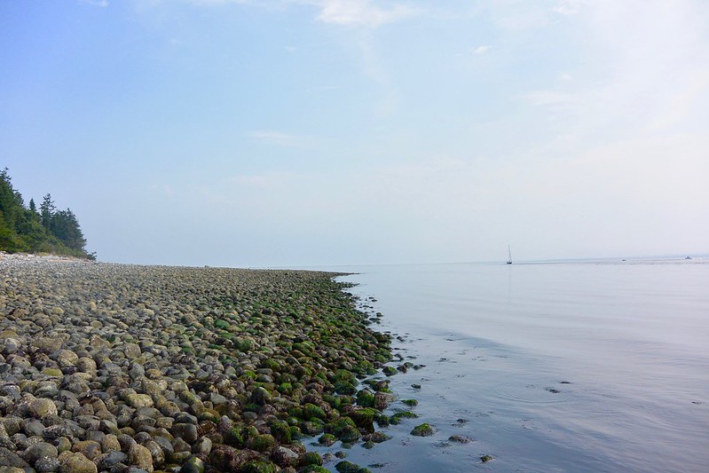
The SRD is looking at ways to counter potential sea level rises with grants and projects. Quadra Island by Pierre Mariotta via Flickr (Public Domain)
Specific areas on Cortes and Quadra Islands
If the SRD obtains this funding, it will be used to develop a model of the potential rise on Cortes and Quadra Islands by 2100 and 2200.
Smelt Bay, Mansons Landing Park, Rebecca Spit, Quathiaski Cove, Hoskyn Channel, Hank’s Beach, Gnat Park and Moon Park were among the locations specifically mentioned.
Once completed, the proposed project will support local governments’ and First Nations’ ability to better understand the risk of sea level rise, support land use planning and policy development and provide information for public outreach efforts.