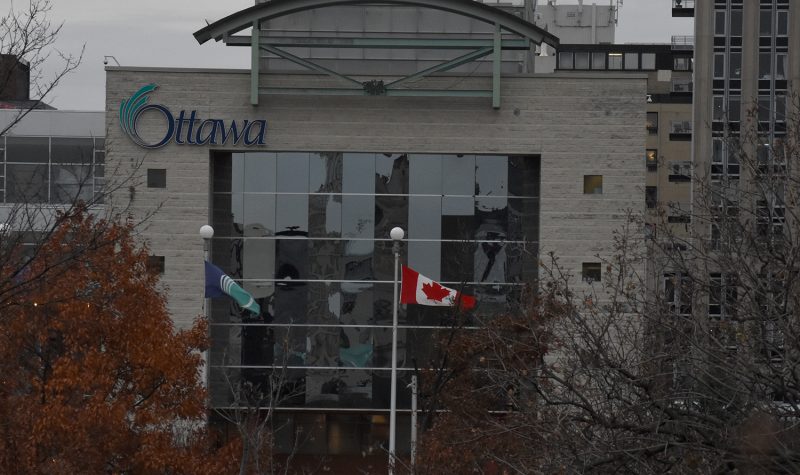
The city’s planning committee wants to build neighbourhoods with better access to amenities within a walkable distance.
At a meeting on Monday, the committee received a report detailing the status of Ottawa’s residential neighbourhoods. The report indicated gaps in access to amenities in some of Ottawa’s core neighbourhoods, including urban, inner-urban, rural and suburban developments.
The concept of 15-minute neighbourhoods was introduced in the new Official Plan at the end of October. It refers to compact communities with a variety of easily accessible, closeby amenities within population-dense areas of the city—amenities you could reasonably walk to within 15 minutes. The 15-minute neighbourhoods are part of Ottawa’s “Five Big Moves,” a master plan to improve the infrastructure of Ottawa’s communities.
The model for the neighbourhoods includes building essential services and residences close together. The developments would include grocery stores and supermarkets, parks, retail and commercial businesses, OC Transpo stops and O-Train stations, schools, healthcare services and recreational facilities, such as libraries and community centres.
Gaps in access were identified in residential areas where there were few basic amenities and essential services available within a 15-minute walking distance.
Creating more 15-minute neighbourhoods would require investing in newly developed areas, such as suburbs, and expanding on the city’s borders to build more combined commercial and residential areas. But some councillors at Monday’s committee meeting were hesitant to show their support for extending beyond the city’s limits.
Coun. Riley Brockington of River Ward shared his concerns, saying that investment in existing core neighbourhoods is already lacking.
“River Ward, approaching 51,000 people, how many grocery stores do you think we have in River Ward an urban ward in the middle of Ottawa?” asked Brockington. “One. There's no grocery store in Carlington. No grocery store in Central Park. No grocery store in Riverside Park. No grocery store in Richmond. So we all have to drive... Because there's not enough money being put in the pot to build that… But they need certain amenities.”
River Ward’s one Metro grocery store serves 51,000 residents, designating the area as a "food desert." The term applies to any neighbourhood that has little access to stores or restaurants providing healthy, affordable food. In the last city-wide study of Ottawa’s food security by neighbourhood conducted in 2012, there were 22 food deserts identified throughout the city.
West Centretown, which includes Little Italy and Chinatown, is also considered a food desert. With no full-service grocery stores located in the area, and with many low-income residents unable to afford the cost of driving, finding food can be a challenge.
Coun. Shawn Menard of Capital Ward raised similar concerns about the development of Ottawa’s older communities. He would like to see a greater focus on enhancing the quality of life in existing neighbourhoods.
“There's already existing suburban communities that we see all the time here that don't have those services,” says Menard. “So if we're planning for expansion, and that we build those differently than than the other areas, you got to think there's only so much funding to go around. There's only so much you can provide services based on where taxes are at. And if we're going to shift as a city and get more efficient, we need to start thinking about not expanding our urban boundaries, building fewer and widening fewer roads, and focusing on what truly makes a higher quality of life.”
Menard added that while he agrees with the committee that building 15-minute communities would help boost overall quality of life, he wants to concentrate on improving the infrastructure of Ottawa’s population-dense urban centre.
Ottawa is a car-centric city, Menard pointed out, which means much of the infrastructure was built to accommodate roads and highways. But as Ottawa’s population has become more reliant on public transportation, and with the completion of a city-wide, multi-billion dollar LRT system anticipated in the coming few years, this model is becoming increasingly outdated.
Stephen Willis, general manager of planning, infrastructure, and economic development for the City of Ottawa, was present at Monday’s meeting to help clarify the concept of 15-minute neighbourhoods. He explained that when the majority of Ottawa’s suburbs were constructed in the 1970s, they were built around town centres, creating residential areas surrounding commercial districts. But as time went on, the existing areas zoned for commercial use were no longer adequate to accommodate Ottawa’s steadily growing population.
“What's changing now is, as the suburbs mature, we need sub-concentrations outside of those town centers,” says Willis. “I'll just give an example: in Kanata, the town center is south of the 417, and it accomplishes an awful lot in serving that area. But if you live north of the 417, it is not necessarily that great and amenity for you because of the division of the highway. So we have to start looking at sub-centers and creating them.”
Willis says the implementation of mixed-use zoning bylaws, which permit the construction of both residential and commercial buildings in close proximity, would help create these sub-concentrations. That would aid in bridging the gaps in service to areas lacking sufficient amenities.
The 15-minute neighbourhood report was partially based on data from the last municipal employment survey, which was conducted in 2016. The planning committee stated that this was a “baseline measurement,” and that the remaining gaps in service would reveal themselves when the city’s next dataset becomes available.
The report also indicates that more contextual information is needed when it comes to improving some areas where specific geographical considerations should be made, such as rural areas.
Listen to the CHUO story below:


