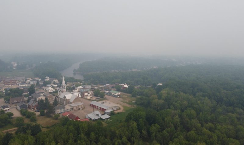
There are currently five forest fires raging in the non-organized territories (TNO) of MRC Pontiac, which, combined with fires further north have blanketed the Pontiac in a haze. Both Environment Canada and regional health authority CISSSO have issued statements warning of the negative effects of wildfire smoke exposure, and advising the public to limit outdoor activity as much as possible.
MRC Pontiac Fire and Public Safety coordinator Julien Gagnon gave an update on the situation as it stood Tuesday morning. The largest fires on the territory is in the Lac Nilgaut region and SOPFEU currently estimates its size at 805 hectares. Another large blaze of roughly 110 hectares is burning in the eastern portion of the region, just north of Lac Dumont.
He explained that they had issued an evacuation notice for the TNOs and are in the process of blocking roads into the forest for public safety.
He explained that SOPFEU is dealing with a large number of fires across the province, and is prioritizing ones that threaten residents or public infrastructure. Fires in sparsely populated areas like the TNOs would be lower priority.
Residents can stay up to date on the locations of forest fires in the region and across the province via the website of SOPFEU, Quebec's forest fire fighting agency, as well as firesmoke.ca to see forecasts of smoke clouds.
The full interview with Gagnon is available below:


