
By Roy L Hales
Scientists are just becoming cognizant of the Bute Inlet landslide's environmental consequences. According to the Hakai Institute, which operates an ecological observatory on Quadra Island,10 million cubic metres of rock and earth plunged into Elliot Creek on November 28th. Andrew Schaeffer, a Pacific division seismologist with the Geological Survey of Canada, said the landslide “sent out low-frequency surface waves resembling those of a quake with an equivalent magnitude of 4.9.” The glacial lake outburst was about 100 metres high and to shot through Elliot Creek into the Southgate River and Bute Inlet.
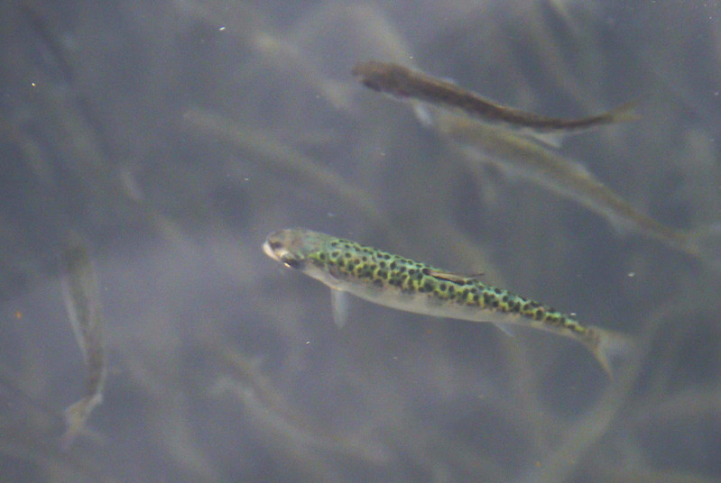
Photo credit: salmon fry Jake Sisco/USFWS via Flickr (public domain)
Environmental consequences
The producers of a new Hakai Institute video wrote, “The flood resulted in a turbidity current that extended almost 70 kilometres away from the river mouth. And over just a few weeks, we observed a 0.5 C cooling in the deep water, which will impact ocean properties like oxygen and pH. It is likely the inflowing sentiment will impact which bacteria and phytoplankton can grow. Changes from this event will impact fish and fish habitat.”
Brent Ward, co-director for the Centre for Natural Hazards Research at Simon Fraser University, said “The lower reaches of Elliot Creek are Coho habitat, and if you look at those images, that habitat is now buried with gravel. These landslides happen, but when you’re dealing with a four-year life cycle of a fish, it’s going to have a longer effect than that.”
Chief Darren Blaney, of the Homalco First Nation, “I’m just hoping some chum have spawned further up (the Southgate River) and the eggs have survived.”
He is also concerned about the grizzly bears who will not be able to feed on salmon.
A team from Hakai flew over the devastated area, with a lidar scanner, on Tuesday, Dec. 22.
Hakai founder Eric Peterson explained, “We make multiple passes and thereby build up a very precise 3D model of the landscape. We hope to be able to conduct a detailed comparison of the ‘before’ and ‘after’ 3D lidar models, and thereby be able to work out exactly what material moved from where to where. The current model may help us predict whether the mountain is stable now, or whether another collapse might be coming.”